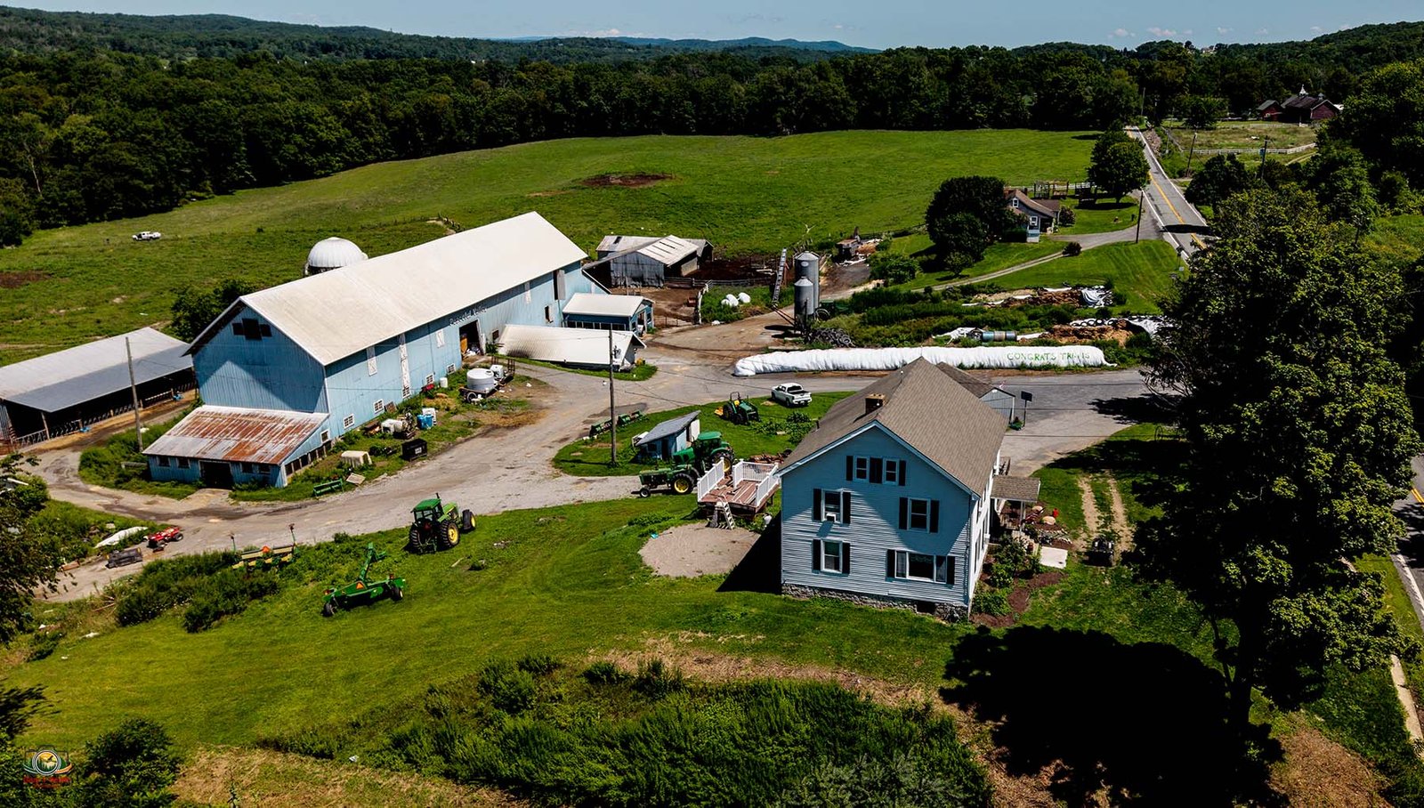
An aerial photo is an image of the earth’s surface captured from an airborne platform, such as an airplane, helicopter, or drone. It provides a direct, bird’s-eye view used widely for mapmaking, land planning, and property tracking. In my case it will be a drone. “A different perspective.